And You Thought It Was Time To Relax...
The National Weather Service has issued a Wind Advisory 10 pm Tuesday until 6 am Wednesday, 20-30 mph with gusts 40-45 mph.
 Winds may produce tree damage causing power disruptions and
possibly disrupting travel on some roads. A Wind Advisory is issued when
sustained winds are forecast to be 31-39 mph or gusts will range between 45-57
mph. Winds of these magnitudes may cause minor property damage without
extra precautions. Motorists in high profile vehicles should use caution
until the winds subside.
Winds may produce tree damage causing power disruptions and
possibly disrupting travel on some roads. A Wind Advisory is issued when
sustained winds are forecast to be 31-39 mph or gusts will range between 45-57
mph. Winds of these magnitudes may cause minor property damage without
extra precautions. Motorists in high profile vehicles should use caution
until the winds subside.Flooding Potential for SW Oregon, with some Clark County creeks at bank full Friday-Saturday.
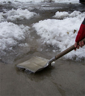 |
| Keep your street drains clear of snow and debris |
Given the fact that we’ve all been peeled to the
weather forecasts with our recently winter blast, there shouldn't be any
surprise that we are expecting a warmer and very wet week with plenty of
rainfall. The strongest storms will move in Tuesday night/early Wednesday
with another storm expected Friday with heavy participation continuing into
early next week. At this time, Clark County is north of most of the
expected flooding potential but history tells us that can change
quickly.
The NWS only expects us to have some creeks reaching bank
full on Friday or Saturday. They are moderately confident that most of
the flooding potential will remain in SW Oregon, with some of the potential
pushing up into the Willamette Valley (not Clark County). Creeks reaching bank
full can cause localized neighborhood and street flooding and ponding. We
will keep an eye on this storm and work closely with the NWS to monitor any
flooding potential for Clark County.
No comments:
Post a Comment